Conceiving Time and Space from and Andean Perspective
TIME AND SPACE ACCORDING TO THE ANDEAN PERSPECTIVE
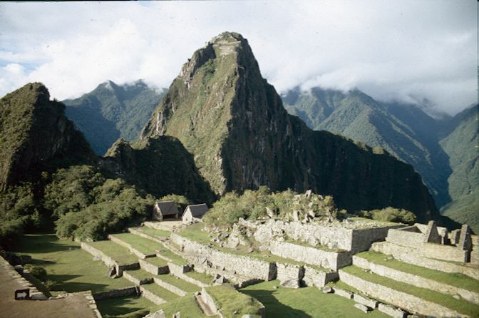
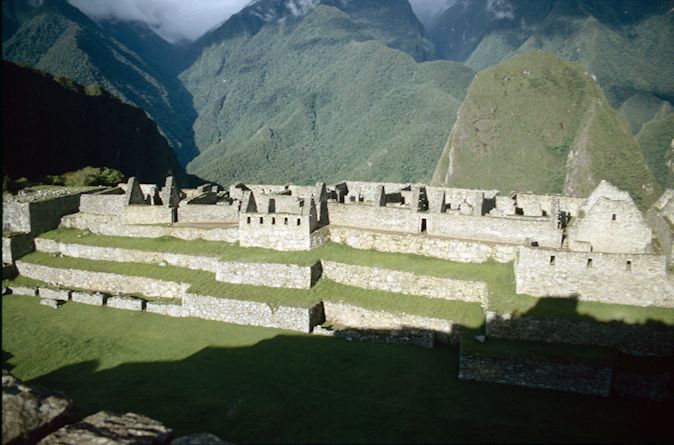
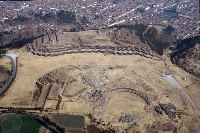
These images show the southern area of the Ushnu. While today this part of the site presents a lot of vegetation, it is clear that this construction had not been completed by the Inca, as during excavations it lost much of its visibility.
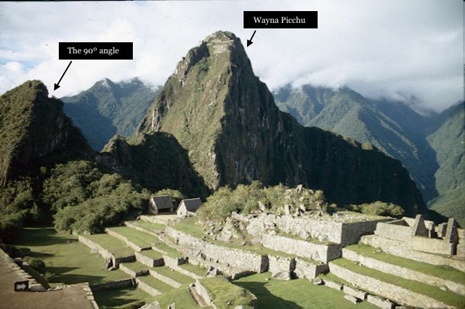
One of the images portrays the specific shadow relationship between the Huchuypicchu and Huaynapicchu. The big terrace seen in the image looks quite disordered, since the work on its construction was left unfinished. All these parts are usually covered by vegetation in most images of the Ushnu, which literally translates into “throne” and was a place where the Inca used to sit, do administrative work, and receive people. It was usually in the main square, but in this case, since there was no available space, it was put on the edge of the area. However, it still has a special connection to the Wanka, which was originally in the middle square, but cannot be seen today. A very interesting fact is that there is not a lot of vegetation surrounding it and that all the buildings of the Wayna Picchu are visible. In fact, this is because the image was taken right after an extensive fire.
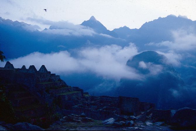
Understanding the architecture of Machu Picchu means understanding its relevance to the sun and the shadows it creates over the buildings of the sanctuary. In this image, the Huchuy Picchu is shown, reflecting very low on the illuminated facade of the Wayna Picchu, meaning that the sun behind the Huchuy Picchu was lowering, but was still very high, as the shadow is not as high to cover most of the site’s facade. Therefore, the sunset was just about to begin in this picture. When asked if it would be possible to climb up the Wayna Picchu, Adine Gavazzi confirmed.
“Oh yes, there is a special time to go there. Very, very beautiful,very powerful, and very dangerous as well. Tourists are allowed to go, but a very reduced number of tourists, and they have to be visually controlled by the Hilantes, because in many parts, you can fall. If you fall from there, there is no possibility that you will survive the fall from the Wayna Picchu. More than three hundred people have died since we know Machu Picchu. Three hundred is a big number, I mean, Machu Picchu has been open to the public for only the last hundred years and we have three hundred people who died. That’s like three people each year. It's scary. The most dangerous thing to do is hiking up the Wayna Picchu and so everybody wants to do that.”
Another interesting story that was told about this picture was the one regarding the significance of the little ninety degree angle that is visible at the top of the mountain next to Wayna Picch. It is not just an ordinary space, but a very special site, where indigenous people still get married. It is not something that many people are aware of and climbing that area is not possible, as it is not open to the public.
Now, is there a specific reason why? As a matter of facts, yes. That specific place at the top is one of the points where it is possible to see the areas where people were buried. According to Adine, Andean people believe that: “When you are looking at dead people, you are looking at your future and at your past as well.” Therefore, for them it is very important to have the opportunity to be looking at their ancestors. This is also one reason why deceased people are buried high up in the mountains, as looking down on them signifies looking higher to one’s future. Adine also explained that ancestors are considered those who are ahead of us, not behind us, because we are all heading towards where they already are. This is not a very easy concept for the Western mind to grasp.
“To understand how they conceive time and space, think of a procession with music. For instance, there is a festivity and there are musicians: the oldest ones go first with their instruments and the kids are at the end because kids follow older people. We walk in the footsteps of our grandparents, so time goes backwards. This is very difficult to grasp. It took me many many years to think like that. Because in our Western mind we go forward, our time has a beginning and we go forward. But then when you hear old sayings like ‘we walk in the footsteps of our grandfathers’ you realize our ancestors are literally those who are in front of us. So we also have a tiny winy memory of this ancestral way of thinking. This is why it is so important to make peace with your past. Because if you don’t make peace with your past, your path is wrong, it’s going to be broken, your life will not be happy…You have to make peace with your past, it's literally compulsory. When you have a natural catastrophe, the first thing you do is you make peace with the event as if you don’t want to be quarreling with the forces of nature. So you make peace with the past. This is why this area for marriages and burials is located right over here.”